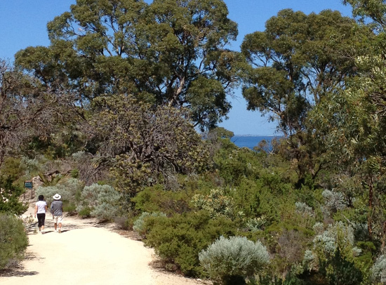
Bold Park, Floreat
Sally Wallace
* Please note these trails are currently unmarked.
The Whadjuk network of walking trails lies on Noongar land, connecting remnant bushland areas in the western suburbs of Perth. With links to iconic, heritage and Noongar trails in the area, they offer users a unique experience and appreciation for the land, catering for a large variety of interests. The location of the network of trails resulted from comprehensive input from the community and WESROC member Councils over many years. Trail users will appreciate expansive views from the Indian Ocean to the Perth skyline, while experiencing the diversity of remnant bushland areas so close to the city.
Trails are well marked with directional signs that include an icon and are suitable for all walkers, with a moderate level of fitness required in places. Users should look for triangular markers in footpaths and bollards along the route. Information relating to fauna, flora, and indigenous cultural heritage, is contained within the trails. The majority of trails are dog and cycle friendly and can be enjoyed in sections to suit walkers' abilities and available time.